November 9, 2026
What is fuel model drift, and why an annual canopy remap catches it
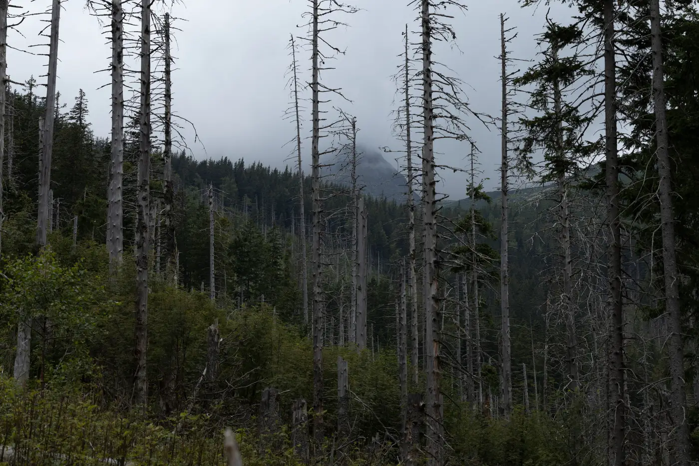
A stand gets assigned a fuel model once, usually during a field transect cycle or a LANDFIRE refresh, and then that assignment sits in the plan for years. The trouble is the stand doesn't sit still. Canopy closes in, ladder fuels build under a thinning that never got revisited, a beetle outbreak kills a patch of lodgepole and turns live crown fuel into standing dead. The fuel model on the map still says what it said three years ago. The fuel model on the ground has moved on.
That gap is fuel model drift: the distance between the fuel model assigned in your planning data and the fuel structure actually present on the unit today. Vegetation keeps doing what vegetation does between map updates, closing canopy, building ladder fuel, dying back in patches, and that ordinary drift is why a fuel break sited off a five-year-old layer can land in the wrong spot, or a burn window planned off last cycle's model can run hotter or cooler than expected.
How drift actually shows up on a unit
Drift rarely looks dramatic from the office. It shows up as small mismatches that compound:
- A GR1 grass model that's grown enough shrub cover to behave more like a GS2 under wind.
- A TU1 timber-understory stand where a decade of suppression has packed in enough ladder fuel to carry fire into the crown, which the model doesn't account for.
- A post-harvest unit logged as SB-something that's regenerated past the slash-and-blowdown stage and now reads closer to a timber litter model.
- A beetle-kill or drought-mortality patch that converted live canopy to dead standing fuel, changing both moisture response and spread behavior without anyone updating the model code.
None of these require a disturbance event to notice from the air, like a fire or a harvest. They're the product of ordinary growth and mortality, which is exactly what makes them easy to miss between field cycles. A crew walking transects on a five-year rotation isn't going to catch a stand that drifted model classes in year two.
Why an annual remap catches what a static layer doesn't
LANDFIRE and most agency fuel layers get refreshed on multi-year cycles, and for good reason: full field verification across a planning area is expensive and slow. But that cadence means the layer you're siting a break against, or running through FlamMap or FARSITE, can be carrying fuel model assignments that are older than the vegetation they describe.
An annual canopy remap works on a tighter loop. Canopy structure and dryness conditions get reclassified into standard fuel model classes every year, not every five, which means a stand that drifted from GR1 toward GS2 last growing season shows up as GS2 this planning cycle instead of waiting for the next full field survey to catch it. That's the practical value of annual over periodic: drift gets caught close to when it happens, while there's still a burn window or a break-siting decision left to adjust.
Fuel model reclassification done by hand after a disturbance works differently: a planner manually updates the stands affected by a known fire or harvest, stand by stand, as those events get flagged. An annual remap runs as a standing check across the whole unit instead, catching the stands nobody flagged for a manual update because nothing obvious happened there. The canopy just grew, or died back, enough to cross a model boundary, and nobody was watching that particular stand.
What this means for siting and burn planning
A fuel break sited against a drifted model is sited against last year's fire behavior, not this year's. A prescribed burn prescription written off an outdated fuel model can produce flame lengths and rates of spread the crew didn't plan for, in either direction. Catching drift annually means the fuel model feeding your siting and prescription work matches what's standing on the unit this season, not what was standing there when the last field crew came through.
Fuel Load Mapping builds that annual canopy-to-fuel-model layer from high-resolution multispectral imagery, so the classification refreshes every year instead of waiting on the next field cycle or LANDFIRE update. If drift is sitting in your fuel data right now, the next planning cycle is the place to find out.