Fuel Load Mapping

Old map and transectsWith Fuel Load Mapping

Start the fuel plan from this year's fuel model map.

Fuel Load Mapping classes canopy structure and dryness into standard fuel models across your planning unit, every year, so fuel breaks and burn units get sited on a current layer.

GSD
High, 0.5–2 m
Cadence
Annual
Platform
High-res satellite
Spectral
Multispectral
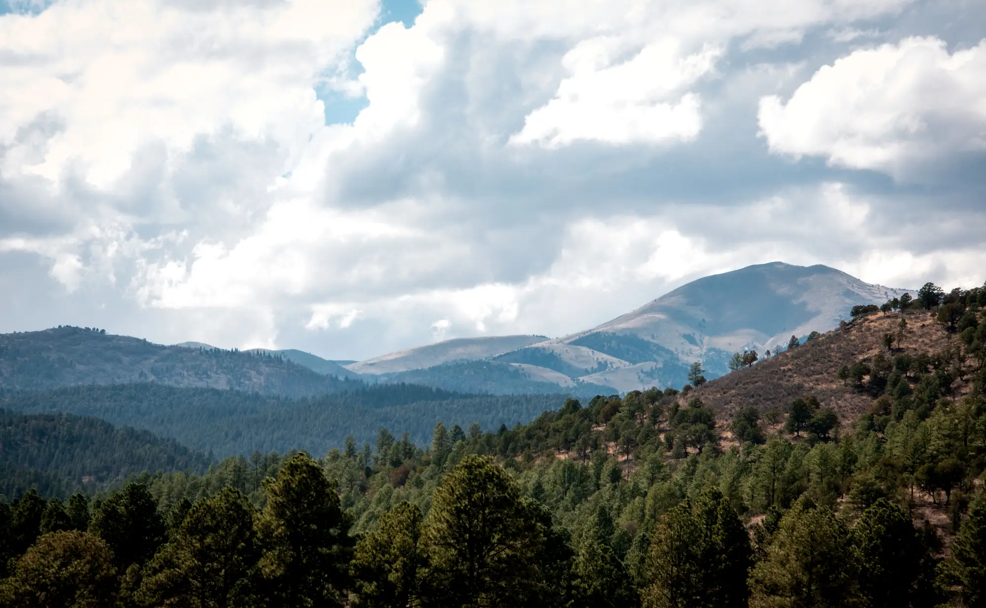
Pine-covered ridges below a bare summit under heavy cloud
Pine-covered ridges below a bare summit under heavy cloud. Photo: Hector Portillo / Pexels

Where the old fuel map runs out

You open the planning unit in GIS and the fuel model layer is what it is: built on an earlier pass, patched where someone has edited it. A stand that was thinned two seasons ago still shows its old class. A stand that has grown in shows the class it had.

You site the fuel break and the burn units on that layer anyway, then send a crew to run transects and find out which parts of the map to believe. A transect samples a line, and the unit is a lot bigger than a line.

The planning cycle, step by step

StepOld map and transectsWith Fuel Load Mapping
01The base layerYou start from the fuel model layer you have, edited by hand wherever the program heard about a treatment.You start from a fuel model layer classified this year across the whole planning unit.
02Finding what changedChanges come in through treatment records, crew reports and whatever a site visit turns up.The new layer is classified from current imagery, so thinned, cleared, burned and grown-in stands show up in their present class.
03Reading drynessDryness comes from what crews see and sample on the ground, and from the season's general read.A dryness index layer comes from the same pass, stand by stand across the unit.
04Siting the fuel breakYou draw the break on the map you have and check the line on foot.You draw it on the current fuel model layer, with the planning-unit summary showing how much of each class the unit holds.
05Scoping burn unitsBurn units are scoped from the old layer plus transect results.Units are scoped from the current layer, and you choose where the transects go.
06Writing it into the planClass maps and acreage get built by hand for the burn plan or the treatment proposal.The layer exports for the plan documents, with acres by fuel model from the summary.
Still yoursGround verification, the prescription, the burn plan itself and every call on fire behavior.

What you get

What arrives with your layer

Schematic drawing of stands in four fuel model tones inside a planning unit, crossed by a fuel break
Schematic drawing of a fuel model layer with a fuel break. Not a sample of delivered data.
  1. Raster layer

    Fuel model map

    Fuel model classes across your planning unit, for the siting and scoping rows of the ledger. Once a year.

  2. Raster layer

    Dryness index layer

    Dryness from the same pass, for reading stand condition across the unit instead of only where crews have been.

  3. Table

    Planning-unit summary

    Share of the unit in each fuel model, in acres. It feeds the scoping and the plan documents.

  4. Layer for your plan

    Burn-plan export

    The fuel model layer prepared so it drops into the burn plan or treatment proposal.

How it works

  1. Before the season

    Send the planning unit

    You send the boundary of the planning unit, before you start siting. Tell us which fuel model set your plan uses.

  2. Stage 2

    Annual pass

    We pull a clear high-resolution multispectral pass over the unit for the year.

  3. Stage 3

    Classification

    Canopy structure and dryness indices are classified into fuel models across the unit.

  4. Stage 4

    Delivery

    You get the fuel model layer, the dryness layer and the summary, in time for siting and scoping.

Limits

Annual, not in-season. The layer is one pass a year. It does not follow a stand through the season and does not show a treatment done after the pass.

Stand edges. At 0.5–2 m a pixel is roughly half a meter to 2 meters across. Edges between two fuel models blend, and narrow features such as a thin break or a single tree are not resolved.

Cloud and smoke. Optical imagery needs a clear pass. A cloudy or smoky season can push delivery back.

Classes, not fire behavior. The layer says which fuel model a stand resembles and how dry it looks. It does not model spread, flame length or give a risk score.

Not a substitute for the ground. Where your program requires field verification, it stays required.
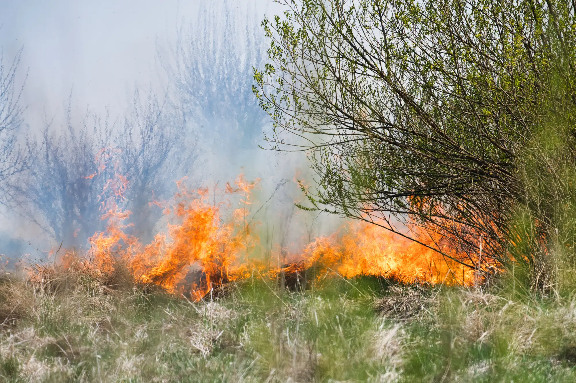
A low surface fire moving through grass and shrubs
A low surface fire moving through grass and shrubs. Photo: Michal Petráš / Pexels

Who it's for

Switch if

  • You are a fuels planner at a fire agency siting fuel breaks and burn units every year
  • You lead vegetation management at a utility and scope clearing and fuel reduction on corridors
  • Your fuel model layer is older than the changes on the ground

Stay with your current method if

  • You need fire behavior, spread or a risk score
  • You need in-season or weekly updates
  • Your program lets no remote layer stand in for any ground check

Questions before you send a planning unit

Does this replace field transects?

No. It gives you a current layer to site from. Verification your program requires stays on the ground.

Does it predict fire behavior?

No. It classifies fuel model and reads dryness. Spread, intensity and risk are other models and other work.

How do we check it against our own data?

Pick a part of the unit you know from recent transects or treatment records and compare the classes with what you found.

What about the edges between stands?

A pixel at the edge between two stands holds both. Plan to check those by eye or on foot.

Will a cloudy year delay it?

It can. The pass needs a clear window over the unit.

Which fuel model set do you use?

Tell us the set your plan uses when you send the unit and we will confirm what we can deliver.

Will it open in our GIS?

It comes as a raster layer and a table you can load in the GIS you already use.

Who owns the imagery and the layer?

Terms are agreed in writing when you start a project. If legal needs them sooner, ask.

How is it bought and priced?

Price depends on the size of the planning unit and the imagery used. Tell us the area and we will scope it.

Send us one planning unit.

Give us the boundary and the fuel model set your plan uses, and we will tell you what the current layer covers.

Start a project