October 14, 2026
What is fuel continuity, and why it matters for fuel break siting
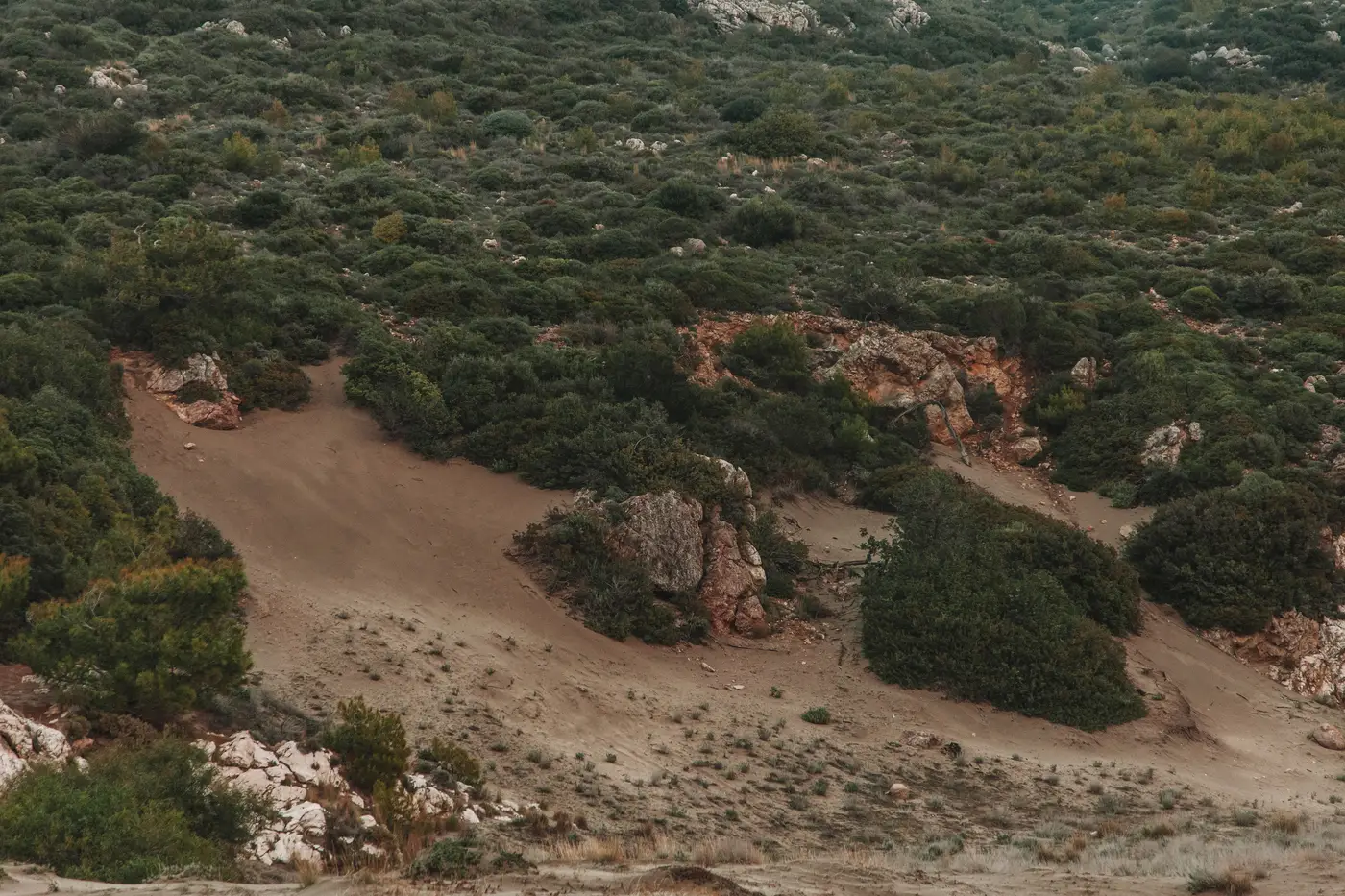
A break drawn along a ridge road looks solid on the map. Then a crew walks it in May and finds the brush has crowded back across the line in three places, with a continuous run of manzanita bridging what used to be a gap. That's a continuity problem, and it's the reason breaks fail more often from what's growing through them than from where they were placed.
Fuel continuity is just the degree to which fuel connects across a landscape, horizontally across the ground and vertically from surface to canopy. Both matter for siting, and they fail in different ways.
Horizontal continuity
This is the spread direction most people picture: can fire move from one patch of fuel to the next without a break in the chain. A stand of chamise with scattered rock outcrops and old burn scars has low horizontal continuity, fire has to find its way around bare patches. The same slope five years post-fire, fully recovered and brushed in edge to edge, has high continuity. A break sited to catch the first condition can be undersized for the second.
This is where a lot of fuel breaks drift out of alignment with what's actually on the ground. A break laid out against a ten-year-old vegetation layer assumes gaps that have since filled in. The planner picked a good line for the fuel bed that existed when the map was made, not the one a crew will stand in front of this fire season.
Vertical continuity
Vertical continuity is the ladder: grass to shrub, shrub to low limbs, low limbs to canopy. Where that ladder is intact, a surface fire with moderate flame lengths can carry into the crowns, and a fuel break built for surface fire behavior won't hold. Where it's broken, by prior thinning, by species mix, by canopy spacing, a surface fire tends to stay a surface fire at the break.
This is the piece that's easy to miss from the road or from an old timber-type map. Two stands can look identical in a windshield survey and have very different ladder structure underneath. One's been limbed up and thinned; the other has twenty years of understory growth nobody's gotten to. Fuel model class should reflect the stand a crew is standing in this season, not the one an old inventory recorded years back.
Why this governs break alignment
Where a dozer line can physically run matters less than where the fuel bed itself thins out, breaks up, or changes structure enough that a line sited there has a fighting chance. Ridgelines and roads get picked for access and defensibility, but the fuel doesn't care about either one. A break that tracks a road through continuous, laddered fuel does less work than a shorter break sited twenty yards off the road where the canopy opens and the shrub layer drops out.
Field transects tell you continuity at a point. They don't tell you how that point connects to the next quarter mile, and they age out fast in anything that burns, grows, or gets treated on a different schedule than the survey. A fuel map from three growing seasons ago is a reasonable starting point and a risky final answer for where to put a break this year.
This is the gap Fuel Load Mapping is built to close: an annual fuel-load layer built from high-resolution multispectral imagery that classifies canopy structure and dryness into standard fuel model classes across the whole planning unit, not just the plots a crew had time to walk. It won't replace ground-truthing a line before it's cut, but it gives a current, unit-wide read on where horizontal and vertical continuity break down, instead of working off a fuel map that predates the last two fire seasons.
If your break siting is still leaning on an aged fuel map and whatever a transect crew covered last summer, it's worth seeing what a current, imagery-based continuity picture adds before the next planning cycle.