October 26, 2026
Scott and Burgan 40 vs. Anderson 13: which fuel model set fits your unit
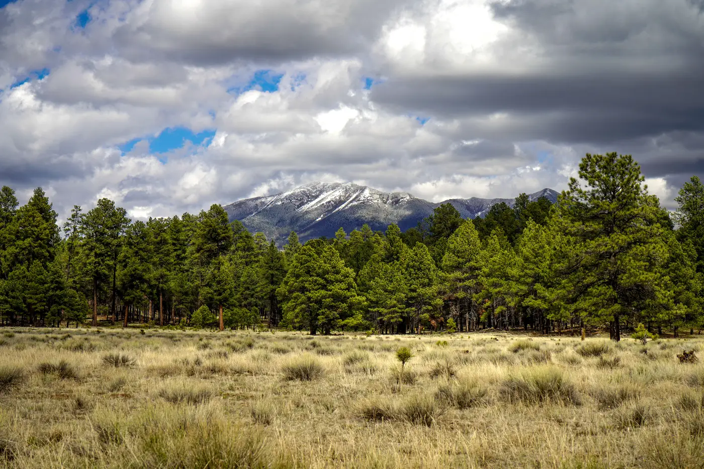
If you've sat through a fuels committee meeting in the last decade, you've probably watched two camps argue past each other. One side runs Anderson's original 13 fuel models because the crew knows them cold and every legacy layer on the shared drive is already coded that way. The other side wants Scott and Burgan's 40 because it actually separates a thinned ponderosa stand from a dog-hair lodgepole thicket, which the 13 can't do without fudging a category.
Neither side is wrong. The question is what your planning unit needs the model for.
Anderson 13: fast, familiar, and coarse
The Anderson 13 came out of NFFL research in the 1970s and it's still baked into a lot of agency software defaults. Thirteen models, four groups: grass, brush, timber, slash. For a quick burn window check or a briefing map that needs to make sense to a district ranger who hasn't touched fire behavior math since academy, it works. The problem shows up when your unit has mixed conifer with a shaded fuelbed next to open canopy with full curing grass underneath. Both might land in "timber litter" under the 13, and your rate-of-spread output flattens out a real difference on the ground.
The 13 also has no live fuel moisture dynamics built in. Grass that's green in May and fully cured by August gets the same model number either way, so your spring prescribed burn window and your September wildfire risk assessment are running on the same static input unless someone manually overrides it.
Scott and Burgan 40: more classes, dynamic grass and shrub
Scott and Burgan built the 40 to fix exactly that gap. It adds nine dynamic fuel models, mostly in the grass and grass-shrub groups, that shift behavior as herbaceous fuel cures through the season. It also splits timber litter into finer categories based on litter depth and load, which matters a lot when you're trying to tell a planning team why one stand carries a crown fire and the stand next to it doesn't.
The tradeoff is data demand. The 40 wants canopy cover, canopy height, canopy base height, and canopy bulk density layered on top of the surface fuel model to run crown fire calculations properly in FARSITE or FlamMap. Field crews running plot-based transects to build those inputs at a landscape scale, every year, is a budget line most units don't have. That's the real reason a lot of fuels shops still default to the 13 even when they know the 40 would give them a better answer.
The crosswalk problem
There's no clean one-to-one crosswalk between the two sets, and anyone who tells you otherwise is rounding. A fuel model 8 (closed timber litter) in Anderson doesn't map neatly to a single Scott and Burgan timber class. Depending on canopy structure and litter depth, it could land in TL3, TL5, or TL8. If your unit has a legacy Anderson 13 layer and you're trying to upgrade to the 40 for a new FARSITE run, you can't just swap codes. Someone has to go back to the imagery or the field data and reclassify.
The labor of keeping either fuel model set current, after a thinning project, a bark beetle kill, or a wet spring that grows grass nobody budgeted field time to re-survey, is the actual bottleneck for most units. It costs more staff time than the original choice between 13 and 40 ever did.
Picking the set for your unit
If your planning unit is mostly grassland or shrub-steppe with a straightforward curing cycle, the 13 may be enough, and it saves you the canopy-structure data burden. If you're siting fuel breaks through mixed conifer with real variation in canopy closure and litter depth, or you're running crown fire potential for a prescribed burn plan, the 40's extra resolution earns its keep. Picking between the two matters less than keeping the fuel layer under either one current. A map built from survey data four or five fire seasons old drags down the output of the 13 and the 40 equally.
Fuel Load Mapping builds that layer from high-resolution multispectral imagery every year, classifying canopy structure into the fuel model categories your planning unit already runs, so the input going into FARSITE reflects this season's stand conditions instead of the last survey crew's. If your current fuel map predates your last thinning project, it's worth a look.