November 16, 2026
Tracking fuel break treatment effectiveness year over year with canopy fuel maps
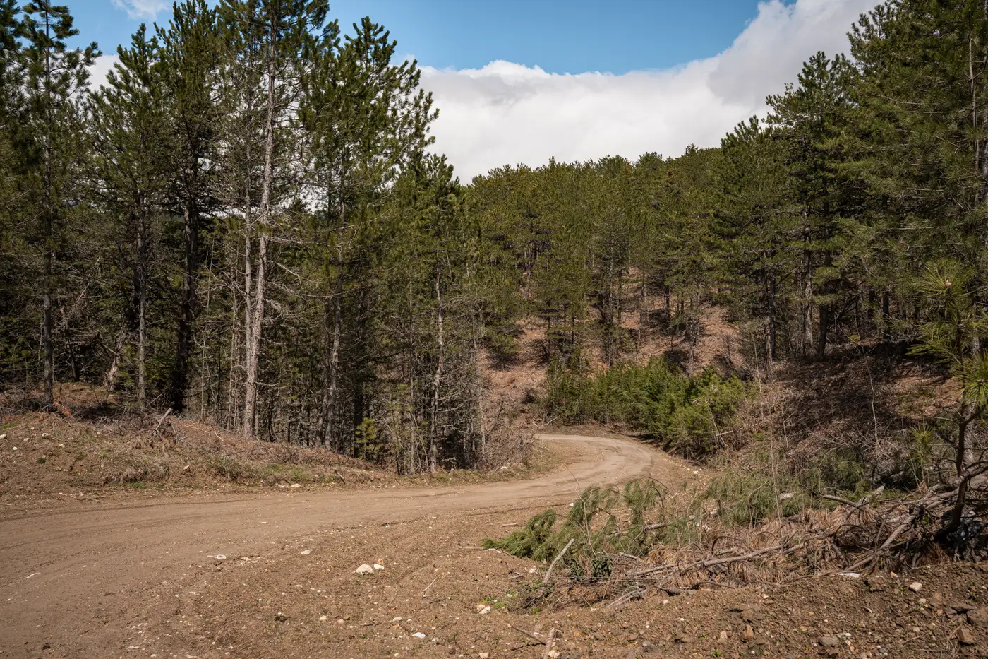
A mastication contract closes out, the crew moves to the next unit, and the fuel break you just paid for starts a slow clock. Brush resprouts. Grass fills the gaps between masticated chips. Ladder fuels creep back into the canopy. The question every fuels planner eventually has to answer isn't "did the treatment work on day one," it's "is it still holding three years in, and when does it need to go back on the schedule."
Field transects answer that question for the handful of units a crew can physically walk this season. Most districts are treating more acres than they can re-walk annually, which means most units are being managed on a fixed retreatment interval instead of an observed one. A five-year mastication cycle gets written into the plan because that's the number from the last district, not because anyone measured how fast canopy closed back in on that particular break.
Why one fuel map at treatment time isn't enough
A fuel model classification done right after treatment is a snapshot. It tells you the unit moved from a high canopy fuel load class to a low one. It says nothing about the trajectory after that, and trajectory is the whole point of a retreatment schedule. Brush species, slope aspect, and soil moisture all drive regrowth rate differently, sometimes within the same planning unit. A north-facing draw and a south-facing ridge treated the same week can diverge within two growing seasons.
If the only data point is the pre-treatment map and the as-built completion report, there's no way to tell the difference between a break that's genuinely degrading and one that just looks rougher on this year's imagery than it did last year because of a dry spring. You need the same classification run on the same ground, repeated.
Building a year-over-year record out of annual fuel maps
This is where running the same fuel-model classification annually, rather than once at treatment close-out, starts to pay for itself. Each pass classifies canopy structure and dryness into standard fuel model classes across the whole planning unit, not just the acres a crew had time to walk. Stack three or four years of that classification against the same treatment polygon and you get something a single snapshot can't give you: a line, not a point.
A unit that holds flat in its fuel model class for three years after mastication is behaving the way the plan assumed. A unit that climbs back a full class within eighteen months is telling you something the original retreatment interval got wrong, probably the site-specific regrowth rate, sometimes the mastication depth itself. Either way, that's a conversation worth having before the break fails during a burn window, not after.
What canopy regrowth after mastication actually shows up as
Mastication doesn't usually fail as a visible gap in the chip layer. It fails as canopy fuel class drift: the classification creeping from low back toward moderate as resprout and understory brush fill back in underneath the overstory. On a year-over-year map, that drift shows up as the unit's polygon shifting color in the fuel model layer before it shows up as anything a windshield survey would catch. Grass-and-brush units tend to drift faster than the timber-adjacent ones treated the same cycle, which is exactly the kind of unit-by-unit variation a fixed districtwide interval misses.
Setting a retreatment schedule off the trend
None of this replaces ground checks before a prescribed burn goes on the calendar. What it does is narrow down which units deserve that ground check this year versus which ones can wait, by flagging drift at the unit level instead of forcing a re-walk of every break on the same fixed cycle. A retreatment schedule built off observed canopy trend, checked against field conditions before the burn, holds up better than one built off a textbook interval applied to every unit regardless of how it's actually regrowing.
Fuel Load Mapping runs that fuel-model classification annually from high-resolution multispectral imagery, so a treatment unit's canopy fuel class is a line across years, not a single number from the completion report. If your unit list has outgrown what your crews can field-check every season, see how the annual fuel-load layer works.