November 2, 2026
Field notes: the fuel break that never got tested
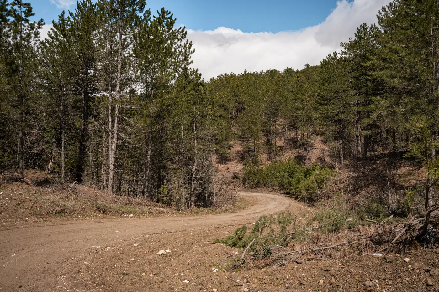
There's a shaded fuel break on a ridge I've walked four times in five years, and fire has never come within three miles of it. It went in after a bad season, the kind where the district gets money and political will at the same time, which doesn't happen often. Crews masticated a 300-foot swath, limbed up the conifers, pulled the ladder fuels. Everyone felt good about it. Then the fire just didn't show up. Not that year, not the next, not since.
That's ordinary, not alarming. Most breaks never get tested, and the ones that do are often the ones that failed outright, which isn't the kind of test anyone wants. But a break that sits untested for half a decade raises a question that doesn't get asked enough in this work: is it still doing the job it was built for, or is it just a line on a GIS layer that made sense in 2021?
Brush doesn't read your planning documents. On the south-facing third of that ridge, manzanita and chamise came back fast, maybe sixty percent of pre-treatment density by year three. On the north-facing shoulder, under more canopy, the return was slower and the fuel bed looked different entirely, more duff, less flashy stuff. Same project, same contract, two very different fuel conditions five years out, and nobody re-flew it or re-walked it to confirm which parts still matched the original prescription.
This is the part of fuel break planning that doesn't get much attention at the public meeting. Siting the break is the glamorous decision. Maintaining it, or knowing when it's drifted out of spec, is the unglamorous reality that determines whether the thing works when a fire finally does show up. A lot of districts are running on the assumption that a treated acre stays treated, because re-surveying every mile of break every year with a field crew isn't something most budgets allow. So the break ages in the file as current long after it's stopped being current on the ground.
I've started asking a different question when I look at an old project: what does it look like now. Canopy closure changes. Dryness carries differently depending on aspect, elevation, and what grew back. A fuel model assigned at construction is a snapshot, and snapshots go stale. The breaks most likely to underperform were sited well, in a year that's no longer this year.
Breaks still get built without live-fire data to validate them, and that's a reasonable way to operate. A district can't wait on a wildfire to grade its own treatment. What's worth changing is the cadence on the back end. The fuel condition on and around a break deserves checking on a schedule that matches how fast the vegetation in that district actually moves. A lot of plans default to a five-to-seven-year reassessment window, sized around grant cycles rather than brush growth rates. For chaparral and mixed-conifer country, the vegetation often calls for something closer to annual.
That's the gap Fuel Load Mapping is built for, running current canopy structure and dryness indices through standard fuel model classes every year so the fuel picture on a planning unit doesn't go stale between field visits. It won't tell you whether a specific break would have held against a specific fire. Nothing short of the fire can tell you that. But it gives a fuels planner a current read on what's sitting on that ridge this season, instead of relying on a transect from the year the break was cut and hoping the brush agreed to stay put.
The ridge break near me is probably still earning its keep. I'd just like to stop guessing and start knowing which third of it still is.
If you're staring at a break you haven't walked since it went in, that annual read is worth a look.