November 16, 2026
Field notes: the dryness index that beat the burn boss to the call
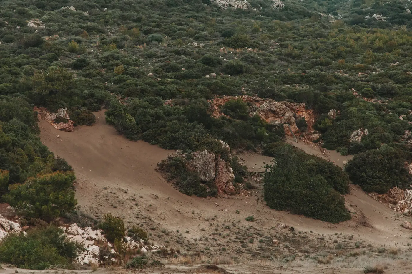
There's a moment that happens on almost every unit before a prescribed burn, and it has nothing to do with weather windows or smoke management plans. It's the moment where the data says a unit is ready and the person who has to sign the ignition authorization still isn't sure.
I've sat in enough pre-burn briefings to know this gap by its shape. Someone pulls up a live fuel moisture reading, or a dryness index built off recent imagery, and it's already sitting in the prescribed window. Dead fuel moisture dropped last week. Live fuel moisture has been trending down for a month. The number is telling you the unit crossed the line. But the burn boss has walked that unit in person, remembers how green the understory looked in April, and wants one more field check before putting a crew and a torch on it.
A burn boss who signs off on a bad call doesn't get a second chance to explain it to the county, and that's reason enough to walk a unit one more time before lighting it. But the three weeks between "the index says go" and "the boss says go" is a real cost, not a rounding error. It's a burn window that narrows every day the humidity climbs back up, a crew that's scheduled and then unscheduled, a neighboring landowner who agreed to a smoke day that's now in question. On units where the prescription window only opens for a few weeks a year, three weeks is most of the opportunity.
What's changed the shape of that gap for some programs isn't a better moisture sensor. It's having a fuel structure baseline that doesn't drift over the course of a fire season. A lot of the hesitation at that briefing table isn't really about the dryness number at all. It's about not trusting what's under the canopy right now. Fuel maps built from a transect walked two seasons ago don't tell you that a unit's midstory has filled in since the last mastication contract, or that a beetle-killed patch on the north edge has shifted the whole stand from a moderate fuel model into something that carries fire differently. When the burn boss doesn't trust the fuel picture, no dryness number, however current, closes that trust gap by itself.
Dryness is a moving target that needs frequent readings. Fuel structure, canopy closure, ladder fuels, the standard fuel model classification for a unit, changes more slowly, but it still needs to be current enough that nobody in the room is working off a map that predates the last thinning project. Get that structural layer refreshed on a cadence that matches how fast stands change, and the dryness index stops being a lone number someone has to take on faith. It becomes the last piece of information layered onto a fuel picture everyone already trusts.
That's the gap Fuel Load Mapping is built to close: pairing dryness readings with a fuel-load layer built from imagery instead of aged field maps, so a planning unit's fuel model classification doesn't lag behind what's actually standing there. It won't make a burn boss move three weeks faster on a call that still needs a field check. But it means the hesitation in that briefing is about the weather and the crew, not about whether the fuel map can be trusted in the first place.
If your unit list still runs on a fuel map from the last time someone walked it with a clipboard, it might be worth seeing what the current canopy and fuel class picture looks like. Go take a look at what's sitting under that canopy now.